Litton Stepping Stones & Scoska Cave
Beginning in Litton, this super little circular is a fantastic way to work up an appetite for a trip to the Queens Arms at Litton, one of our favourite pubs in the Yorkshire Dales!
If you fancy to add an element of adventure, you can make your way to Scoska Cave too.
Fancy a stepping stone walk that features an excellent pub?!
Located in Littondale, this short and sweet circular walk is a great family friendly wander to work up an appetite before heading to the Queens Arms in Litton! Amble along the River Skirfare, hop across the stepping stones and make your way back to Litton with stunning views to the fells beyond.
If you fancy adding an extra element of adventure, then you can try to find Scoska Cave too! This spectacular cave is located on open access land and is a fantastic find for your explorers. You’ll find it between the gorgeous villages of Litton and Arncliffe. The cave itself is large, wide, and is relatively lofty, so pack your torch and your walking boots! Be warned though, the bank to reach the cave is very steep and muddy!
There is no restriction on access to the cave if approached from the public footpath by the river. No permission from the landowner is required if those rules are followed (Source CNCC Council for the Northern Caving Community)
Please note that we did not explore any further than the opening of this cave. Without specialist knowledge of the network and proper safety equipment it would not be safe to do so, nor do we suggest that you do. Accessing the cave is at your own risk.
These instructions are a guide only and should be used in conjunction with a map.

Buy Me a Coffee
Make a Donation
Thank you for taking the time to have a look at my website and for reading this now!
I set up the Reluctant Explorers and maintain the website and attached social media accounts in my spare time, around mum-life and two jobs. It was designed to provide access for parents to free resources to help get more families outside and exploring in nature. These walks have all been created by myself and the kids and we have walked each one ourselves (and re-walk them regularly to keep the information as up to date as we can).
If you would like to support us and can afford a few pennies, you can make a donation to our ‘Buy Me a Coffee’ page. Simply tap the button below to head there!
Details of Litton Stepping Stones and Scoska Cave walk
Distance: The full walk including the cave is 3-3.5 miles. The stepping stone circular is under 2 miles.
Terrain: Do not attempt this walk after significantly wet weather. Part of the path gets submerged next to the river and the stepping stones will be impassable. We have attempted the walk in mid October when conditions were fair (although there had been recent rainfall) and then in January.
The circular route has little to no ascent. The cave route has an extremely steep ascent to the cave itself. It is located high on the hillside and the closer to the cave you get, the steeper it is. There is a path, but be prepared to scramble a bit to get there, hands and knees will be required and it’s not advisable to attempt this after prolonged rainfall.
That being said, the cave section of the walk is better reserved for those who are older and are more experienced hikers.
Parking: Vergeside outside the Queens Arms pub. Be respectful to residents and do not block any access to fields or to the pub itself.
Location: Littondale, Litton
Map: OS Explorer OL30 Yorkshire Dales Northern and Central
What 3 Words: whimpered.humidity.squashes (parking) repeat.ounce.something (approximate cave location)
Nearest Cafe/ Amenities: The Queens Arms Pub in Litton. If you want to eat here, book in advance as it gets super busy and it’s a tiny pub!
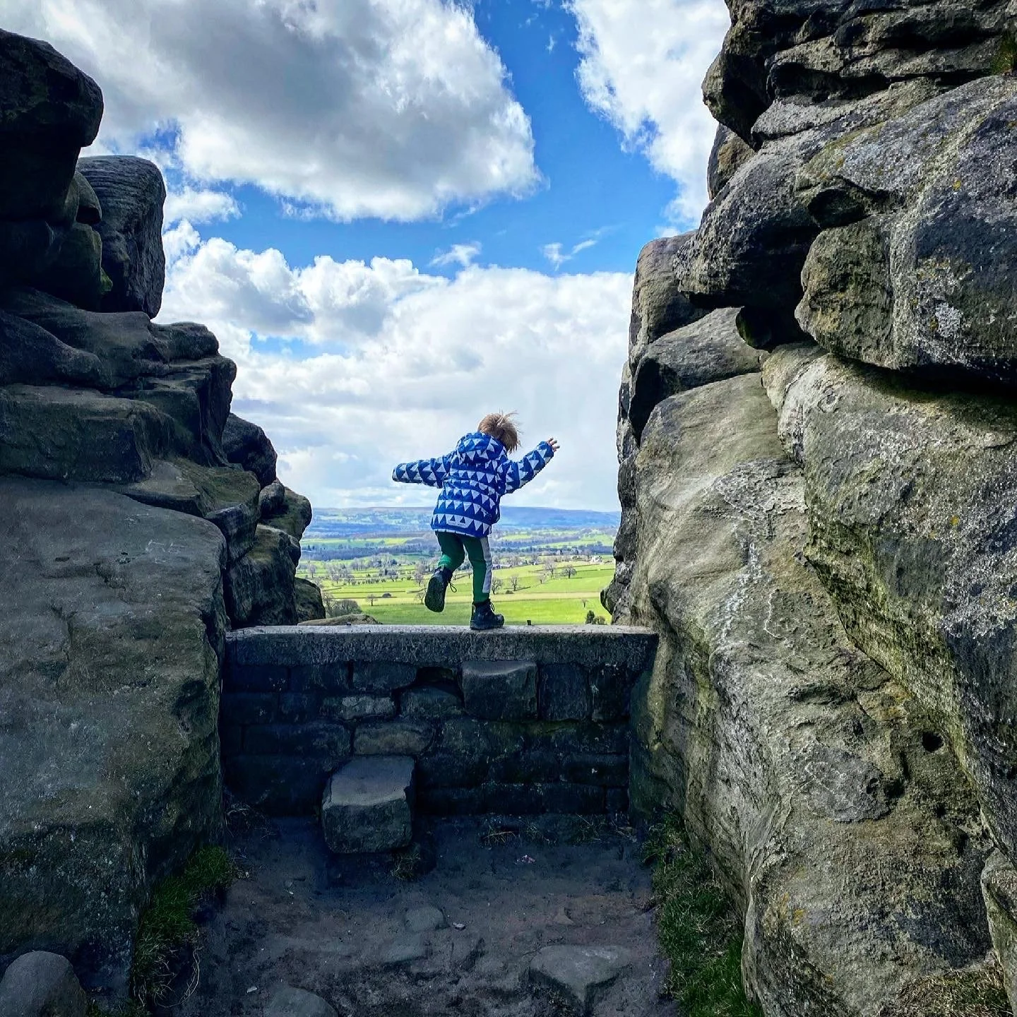
Leaping across the footpath to Arncliffe
How to walk the Litton Stepping Stones and Scoska Cave circular
Directions (to be used in conjunction with a map)
Beginning at the Queens Arms pub, head up the road in the direction of Halton Gill (tap to head to our Halton Gill walk). You will shortly head over a little bridge over a dry beck (if it’s flowing, you probably won’t be able to do the stepping stones!) passing an old red telephone box on your right. Ahead, you will make out a footpath sign pointing left. This is where you need to head.
The signpost is marked East Garth/ Spittle Croft. Follow the signpost down the little residential lane, and to a footpath between a low wall and a border. There is a public bridleway way-marker pointing to a footbridge over the river. Cross the footbridge. At the far end turn left.
Pass through the wooden gate in the wall ahead, then through a further gate in the wall of the perimeter of the second field. Turn right here on the path alongside the beck, and cross the wooden bridge directly ahead of you, turning left after crossing. You will see ahead of you a yellow marked footpath sign pointing through the gateway in the wall on the right marked Arncliffe. Follow that signpost!
Head across the field along the wide grassy track. You will see a gap in the wall ahead. Head through that and turn left along the wall. There is a yellow waymarked public footpath sign pointing you in the right direction. In the distance you will see a gate, with another waymarker in the wall ahead, head to this.
Head through the gate, then turn right heading along the path at the side of the river. After about 700 yards, you will head through another gate and into a field. The path starts to move away from the edge of the river at that point. Continue straight on across the field and then into the next. At which point the footpath re-joins the edge of the river.
Head through another gate. You will see a wooden footpath sign, and the stepping stones. Skip to step 13 to miss out the directions to Scoska Cave.
Directions to Scoska Cave
If you would like to take a trip to Scoska Cave don’t cross the stepping stones, but go through the large wooden gate, beyond which you will see a large information board about Scoska Wood National Nature Reserve, which handily has a little map featuring the cave (if you need to check how far you need to go!)
Head through the nature reserve, and then out the other side and continue until you see a ruined barn beyond a dry stone wall ahead next to a beck (this is regularly dry, but you will see the depression in the ground if there’s no water!) The beck follows the line of the dry stone wall, and rises on the incline to your right. Head right, and follow the beck as it goes upwards. The path here is not as well walked, but if you follow the beck to a metal gate in the wall then you will keep on track.
Head through the nature reserve, and then out the other side and continue until you see a ruined barn beyond a dry stone wall ahead next to a beck (this is regularly dry, but you will see the depression in the ground if there’s no water!) The beck follows the line of the dry stone wall, and rises on the incline to your right. Head right, and follow the beck as it goes upwards. The path here is not as well walked, but if you follow the beck to a metal gate in the wall then you will keep on track.
Cross the beck and head through the gate, (closing it behind you!) This is where it gets steep and tricky. You need to ascend the beck loosely on the left hand side. The path zig zags and weaves up the steep bank through stubby woodland. You will probably need your hands at some point, although the kids managed it far more easily than I did! Just beyond the gate, there is a waterfall. It was a trickle when we were there, but may be more obvious after wet weather!
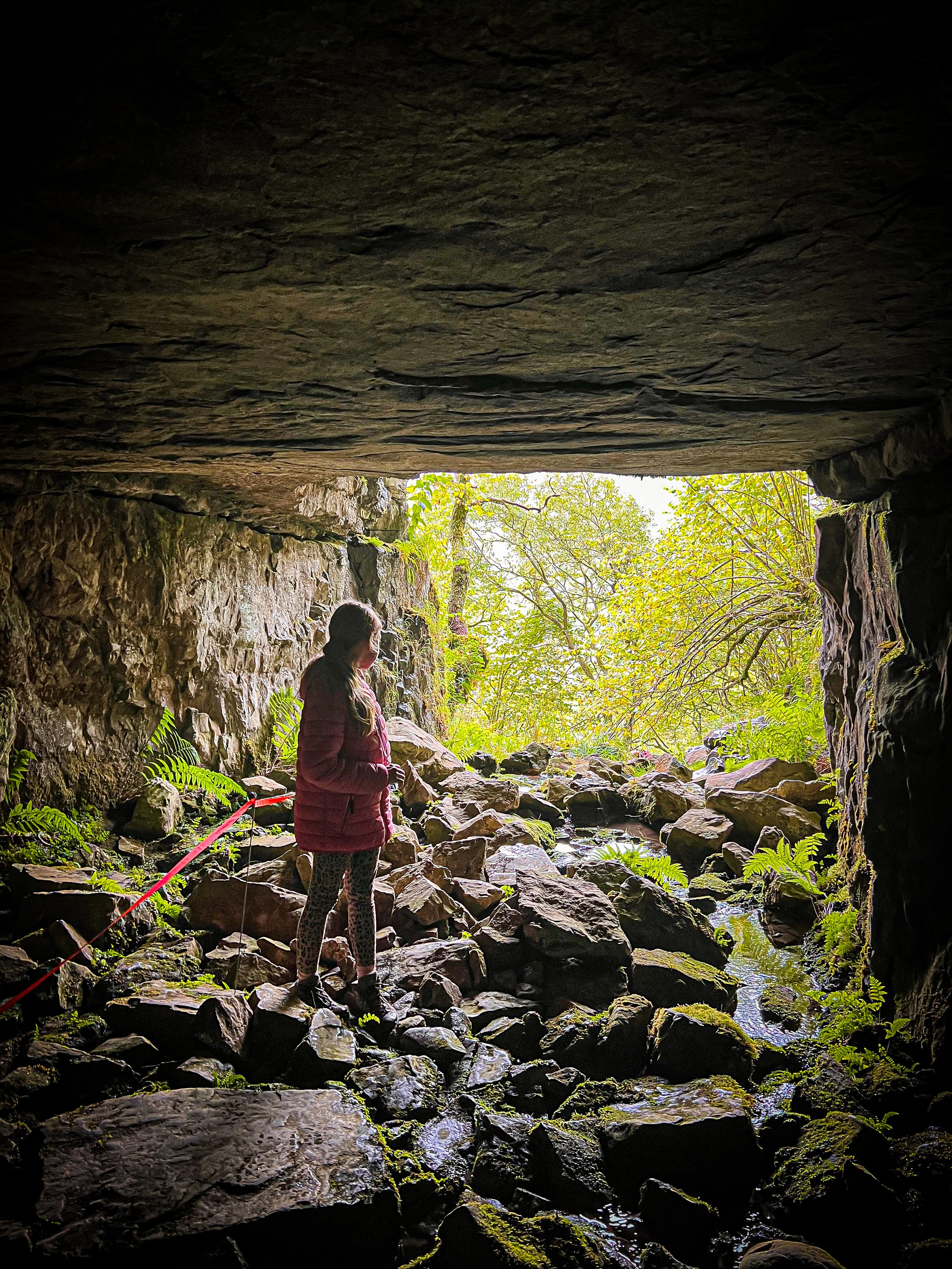
The opening to Scoska cave will soon become visible so head into it! We did not bring our big torch, which you will need to be able to see much inside. Head torches don’t really do the job! Do not disturb the orange tape that has been placed there. It is to protect the greenery at that side of the cave, which interestingly shows you the effect of the darkness of the cave on plant life. We did not explore any further than the mouth of the cave, and without specialist knowledge and equipment we do not suggest you do! Entering the cave is at your own risk.
Once you have explored, then head back the way you came, taking care on the steep bank and the slippery limestone. You need to retrack your steps all the way to the stepping stones.
Reminder: the route up to Scoska cave is extremely steep and hands and knees will be required. This part of the walk is better reserved for confident and more experienced hikers.
Cross the stepping stones to the other side and head left along the right edge of the river with a dry stone wall to your right along a short cobbled section of path. Head through a gate on your right onto a walled path, and follow it until it heads round a corner. Turn left and continue along the path.
It heads through a gate and into open field. Continue along the path until you reach another gate. Here, turn left following the tree line until you see a waymarker pointing you across an intersecting farm track. Head slightly to the left, then through the waymarked gate opposite. This takes you onto another walled path with a further gate at the end taking you again into open field. Continue across the next field to a further two gates. Heading through those and onto a further walled track (here you will see the Queens Arms ahead in the distance.
Continue through the next field to the gate out onto the road, turn left and head back to the beginning and to the pub ( It’s a top little pub with a great beer garden too!)
Last walked December 2024.
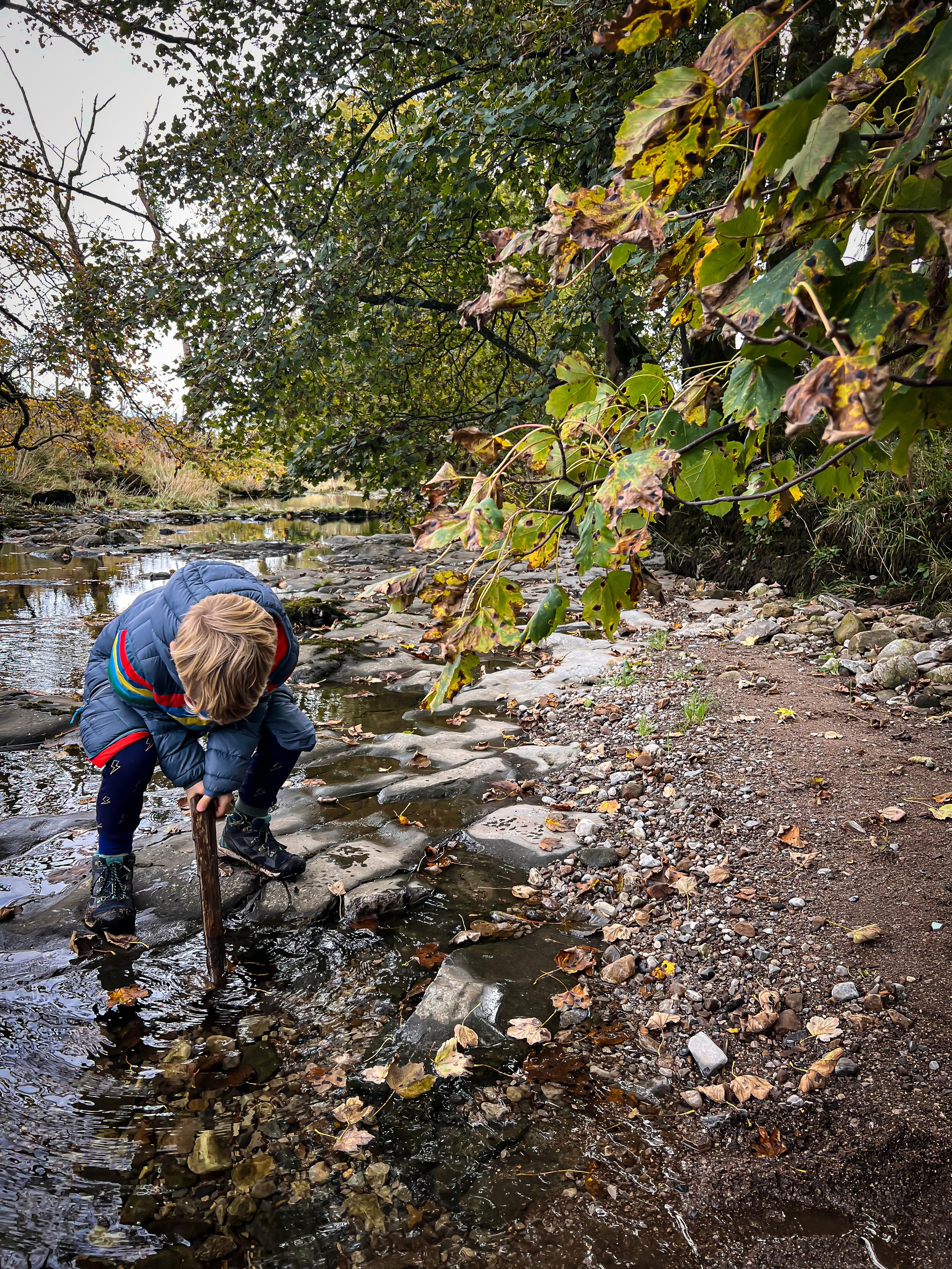
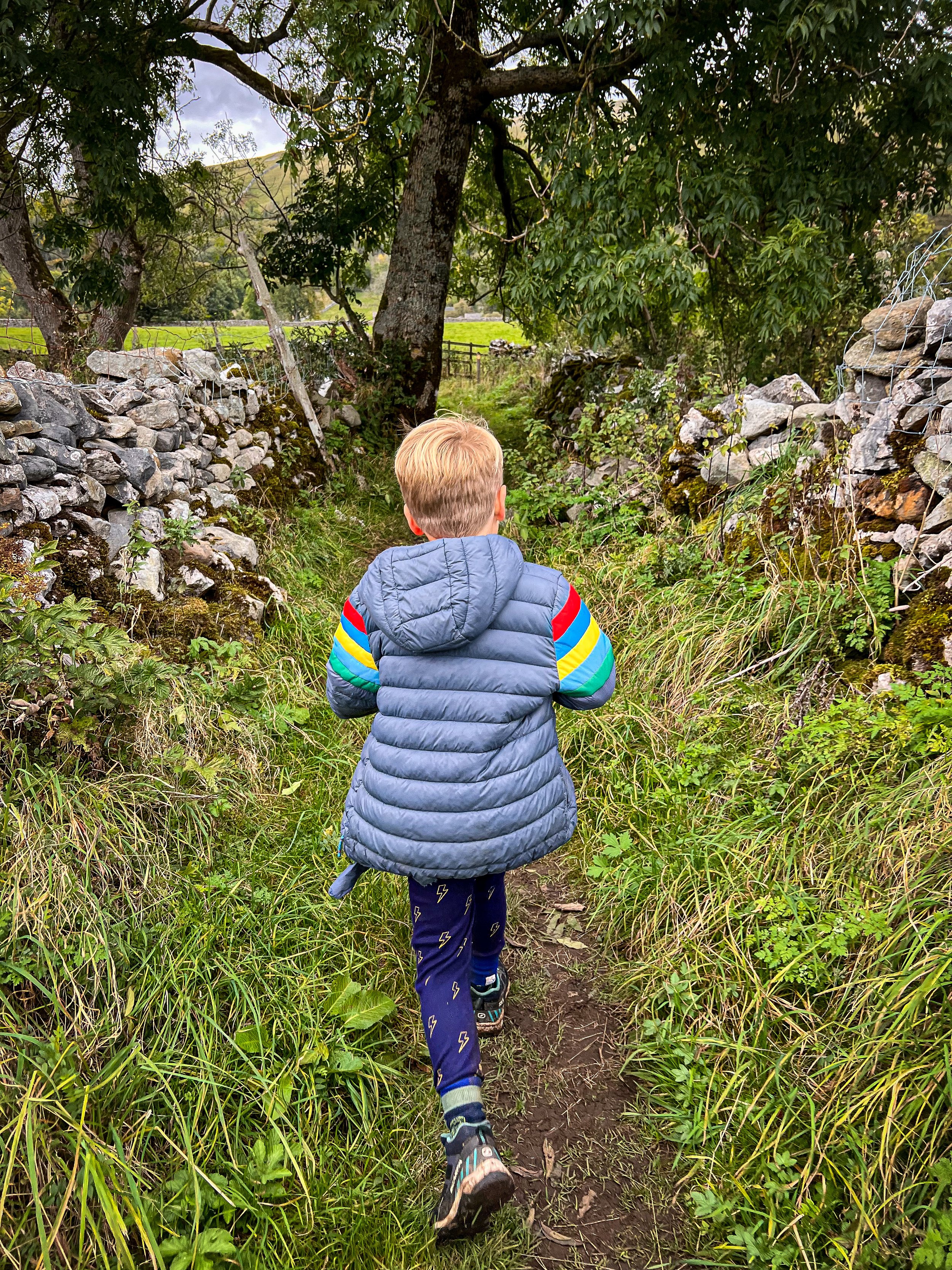
Playing next to the river in Autumn
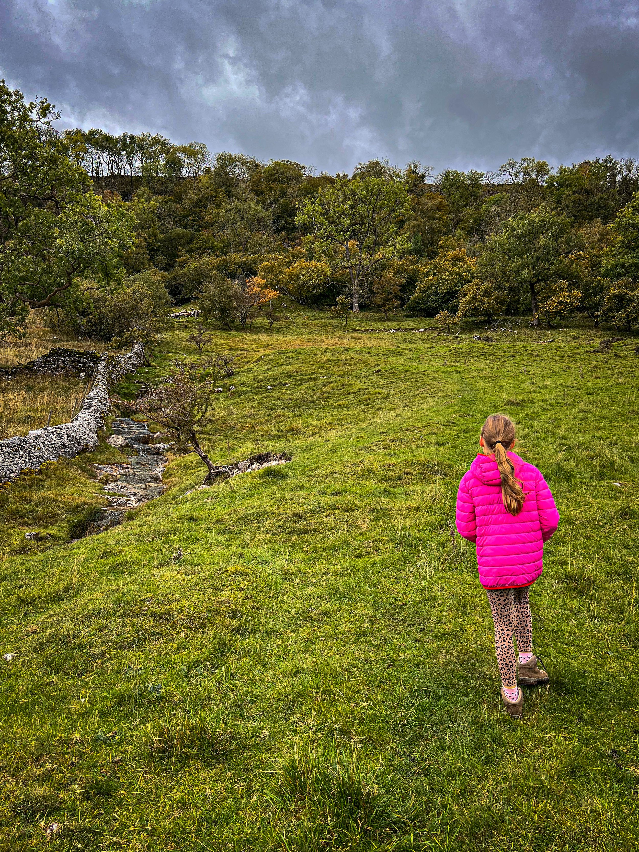
The approach to Scoska Cave from the riverside footpath.
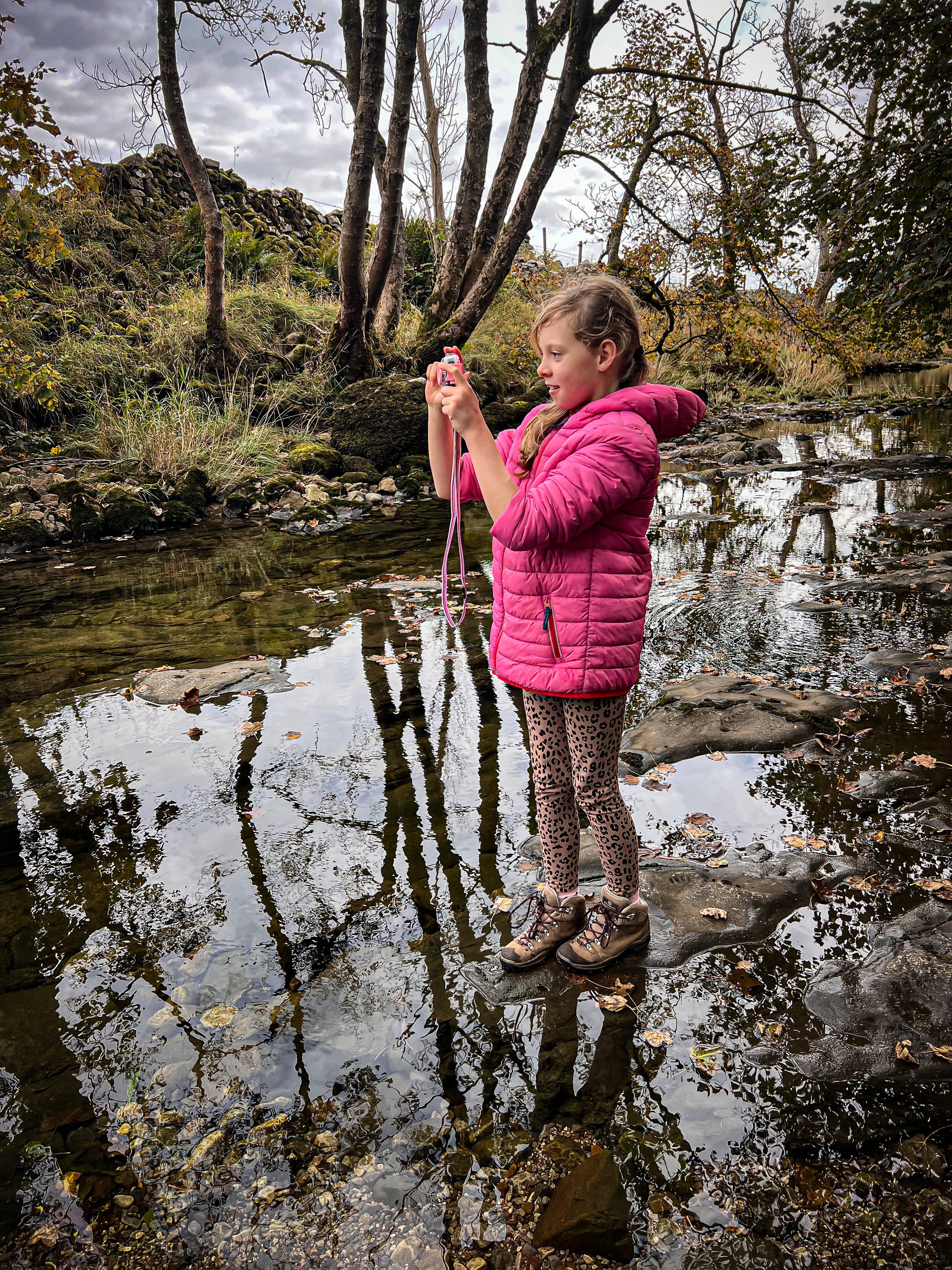
The riverside during a wet winter
Inside Scoska Cave
The path back onto the road with the Queens Arms ahead
An award winning pie at the Queens Arms
What’s cool for kids on this walk?
💦 There are plenty of spots to get down to the edge of the water for a splash and a paddle. Be aware that the River Skirfare is a temperamental beast. Slap bang in the middle of cave country, the water will regularly disappear and reappear and may not behave in the way a usual river does! It is regularly dry, so be prepared to hunt for that water!
✨ Scoska Cave hasn’t been known about for a very long time and was only first explored in 1905 when the remains of a woman were found, dating back to around 1500 - 2000 years ago!
🌳 Need to beat the walking whinges then head to our walking games page
Helpful Information!
For more helpful information head to our safety tips and advice page.
⭐ We hope you enjoy our walks, but please exercise common sense as routes can change with the weather conditions and seasons! These walks are intended as a guide only and are undertaken at your own risk. The routes have been walked by our own two feet, but you know your own limits. If in doubt, turn back. Always take a back-up map, don’t rely on GPS or your phone alone, wear appropriate clothing for the weather and take adequate snacks and refreshments with you (although as a parent, I know you already know that bit!)
⭐ Leave no trace! Take nothing away and leave nothing behind, take all rubbish home with you.
⭐ If you choose to paddle, be aware of bio security. Always wear clean dry water shoes (if worn) to avoid cross contamination of species between watercourses, this is a particular issue in the Yorkshire Dales, to help protect the white clawed crayfish.
⭐ If you decide to paddle, be aware that wild water can be dangerous, and water levels will vary season to season. Always supervise children around water. Check out the safety information on the Royal Life Saving Society website.
Want to grab the route?
Head to the Ordnance Survey Navigation App where you can download the route!
(Always carry a back up map and know how to use it)
Image is Copyright of Ordnance Survey
Are you a fan of Yorkshire Dales caves?
We have a few walks including easy to access caves in the Yorkshire Dales, and we LOVE the caves sitting in Attermire Scar above Settle.
This walk will give you two massive caves and a couple of mini ones thrown in for good measure!
Fancy walking it?
Scroll using the arrows for all our Family Friendly Walks
Follow us for up to date Outdoors Adventures!
We live and BREATHE the Yorkshire Dales outdoors life!
Come follow our journey over on Instagram, Facebook, Twitter and TikTok, where you’ll find up to date walk info, breaking news on Yorkshire Events, new Yorkshire Dales wild swim spots, climbing, caves and more!
Follow us on Social Media for all the up to date info: @thereluctantexplorers


